KHUBONYE INTEGRATED SERVICES · KIS
Survey. Inspect.
Understand.
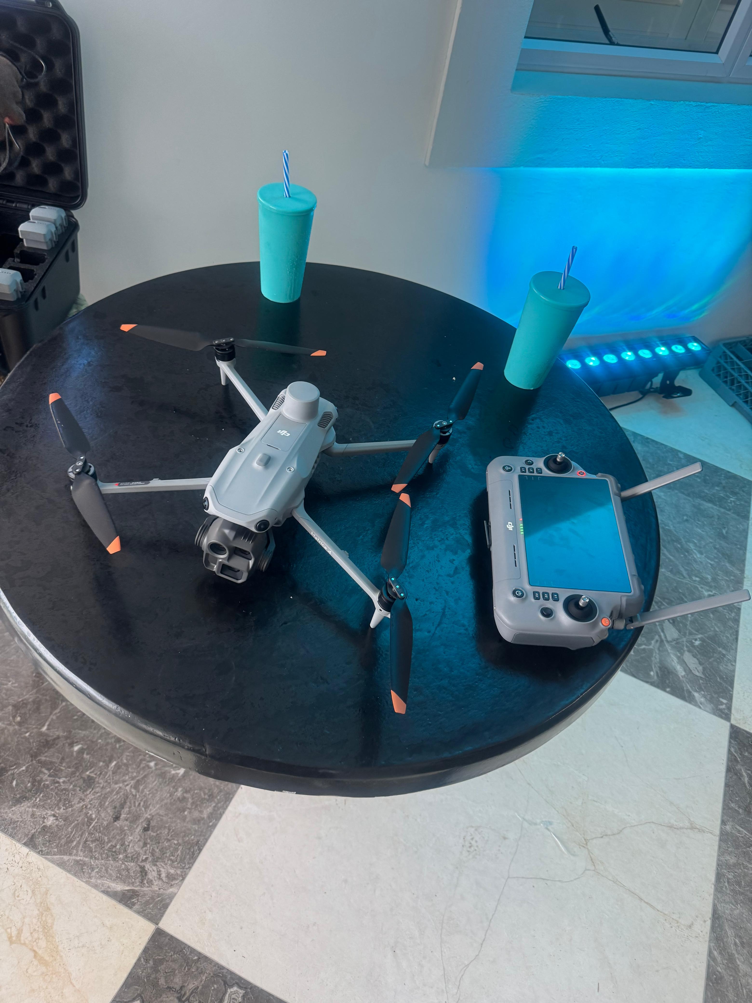
Drone based information and monitoring for mining, infrastructure, industrial and security clients. Aerial surveys, mapping and reporting help teams understand what is happening across their sites.
 VISIBILITY / CHANGE / DECISION SUPPORT
ABOUT KIS
Better visibility leads to better decisions.
Khubonye Integrated Services is being developed to bring aerial surveys, inspection, mapping and reporting together. Its proposed work turns observations into clear information for planning, asset management and operational decisions.
Get to know KISPROPOSED SERVICES
Built around your operation.
Mining intelligence
Stockpile measurement, excavation monitoring and operational mapping.
02Infrastructure inspection
Aerial and suitable thermal imagery of critical assets.
03Aerial mapping
Orthomosaics, terrain models and 3D site information.
04Security monitoring
Site and perimeter observation for authorised teams.
FROM CAPTURE TO CLARITY
Useful information, delivered clearly.
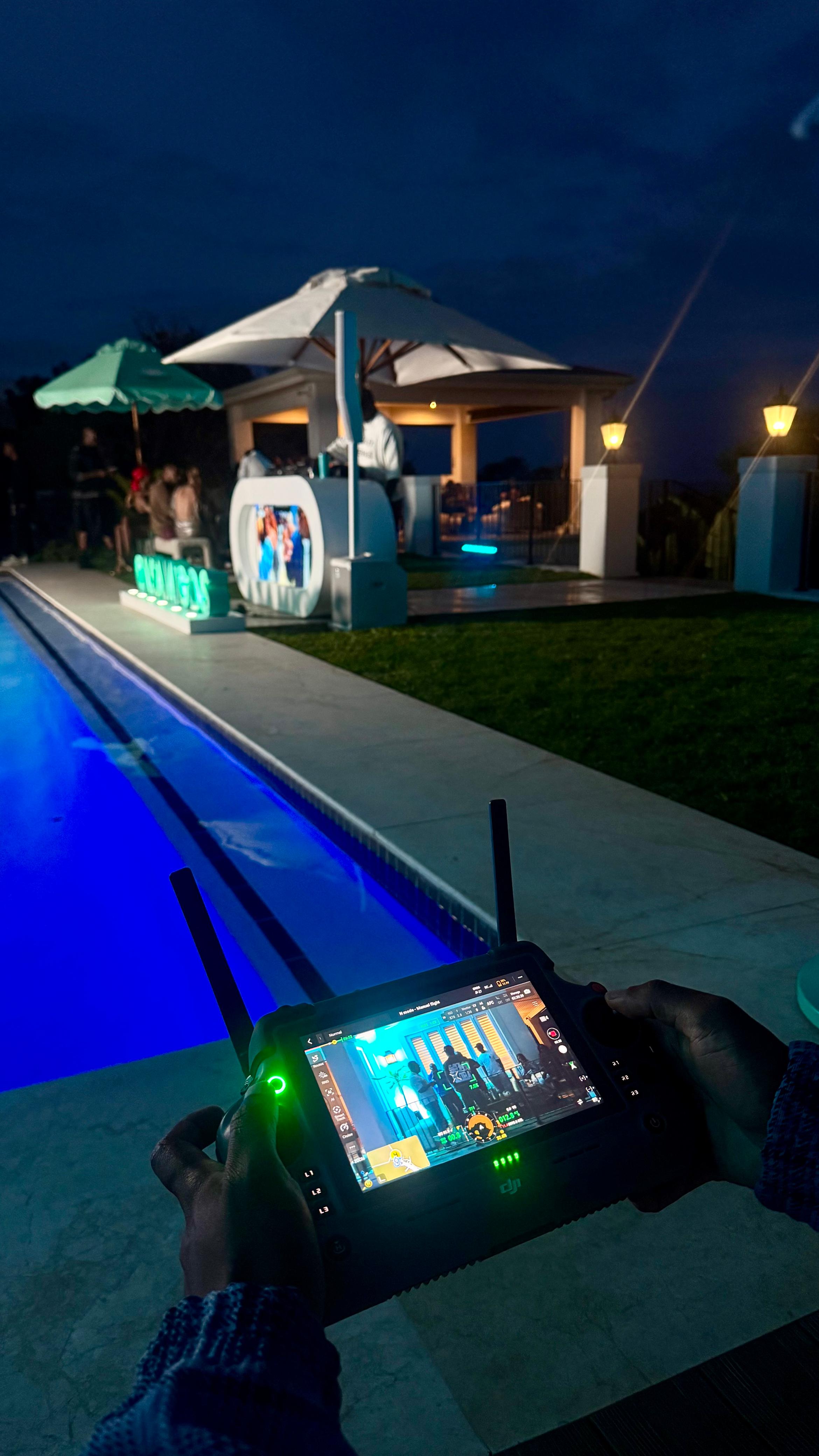
Proposed repeat surveys and scheduled monitoring would show how sites change over time. KIS aims to provide time stamped images, change analysis, trend insights and practical reports, subject to the people, equipment and operating arrangements required for each project.
Contact KIS